
Underwood Conservation District’s Map
and GIS Data Library
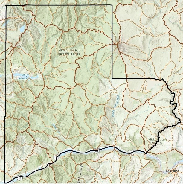
Explore the interactive map below to gain a deeper understanding of natural resources across UCD’s 1.4 million acre service area. You can enter your own address to find data, such as soils or precipitation, around your home. Or perhaps you simply want to learn more about a local watershed, the habitat, water quality, or vegetation.
The variety of geospatial data is sourced directly from local, state, and federal agencies. UCD was able to build this map and data library with the help of Rivershed SPC and the Dept. of Ecology Terry Husseman Account.
The project aims to improve natural resource understanding and management, empowering more effective, targeted watershed restoration and management on the ground, while increasing community and ecosystem resilience.
We invite you to explore this free, easy to use on-line mapping tool. Find it here: https://gis-ucdwa.hub.arcgis.com/.